Discover our area, history and demographics

With a vibrant food and art culture with a touch of history, Manningham is a special place to be. Retaining many of its cultural links, there’s something for everyone in Manningham: from sacred sites of the area’s First Peoples to the early gold mining settlements.

Local government

Local government in the area dates back to the election of the Templestowe District Roads Board in 1856. The first meeting of the Board was at Upper Yarra Hotel, Templestowe.

Proclamation that the Shire of Doncaster and Templestowe took place on 28 February 1967. Up until 15 December 1994, Doncaster and Templestowe Council administered the area until the creation of the City of Manningham. The new city included Doncaster, Templestowe and small sections of the Shire of Lilydale. Wonga Park and part of north Ringwood also became part of Manningham. Three State Government appointed commissioners managed the city until 24 march 1997 when 8 councillors were sworn into office.

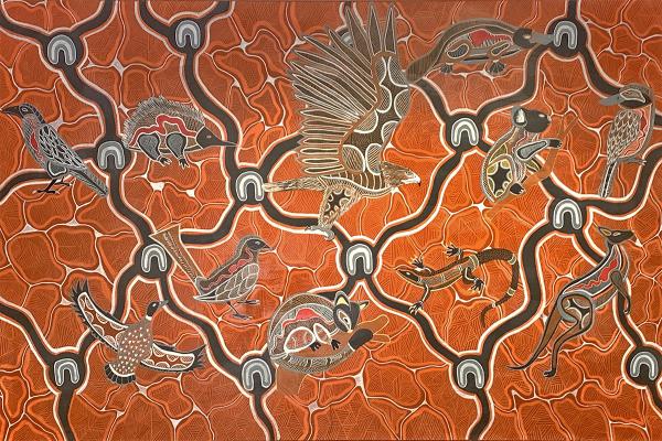
Troy Firebrace - a galaxy swirl

Our First Nations heritage

You can see the rich cultural heritage of the area through local landmarks and places of significance. First Peoples have been in Victoria for over 30,000 years and we can still see evidence of the Wurundjeri Woi-wurrung presence in Manningham.

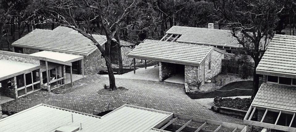
Black and White photo of Mid Century Modern houses in Manningham

The European influence (mid 1800s)

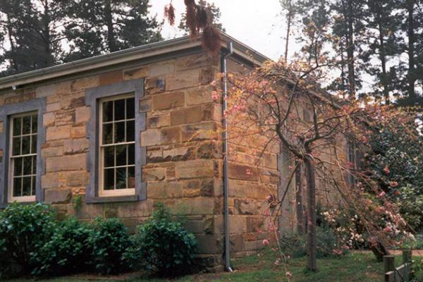
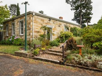
From the mid-1800s, European settlement began in Manningham with the earliest building constructed in the 1840s. We still have plenty of places of heritage significance where visitors and locals can explore and admire.

Our suburbs

Each suburb in Manningham has its own unique characteristics and are wonderful places to live and visit.

""

Bulleen

Bulleen's name is from Bolin Bolin, a Wurundjeri name for a nearby billabong on the Yarra. Dairy farms dominated the area until the 1930s. It remained a rural district until the post war era with a lack of public transport and difficult river crossings delaying development.

Residential subdivision and development gained momentum in the 1950s.

Economic profile - Bulleen
423.12 KB
Download
download

Doncaster

Doncaster's name comes from John Robert Wilson, who opened the Doncaster Arms Inn in 1854 on his way to the Warrandyte gold diggings. Wilson named the inn after his English hometown, Doncaster.

A number of settlements started along the Koonung Creek in the 1850s and the early settlers made a living from timber, but as time passed orcharding became the major local industry.

The Doncaster Shire came into being in 1890.

The area gained a reputation as one of Victoria's best fruit producers and remained a thriving local industry until after WWII. The orchards were progressively subdivided for residential development from the 50s.

Economic profile - Doncaster
385.46 KB
Download
download
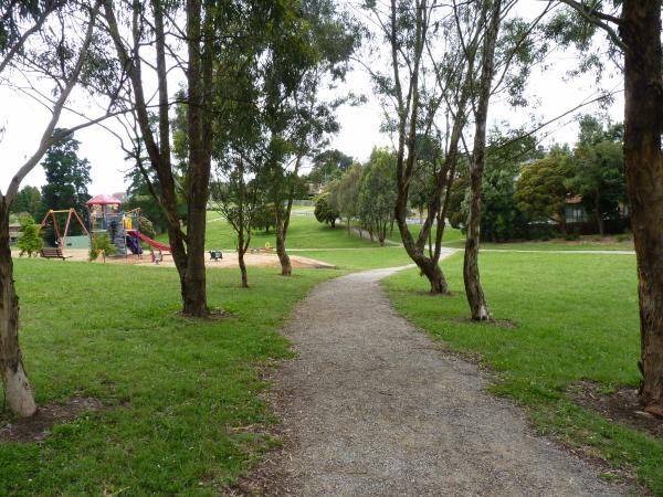
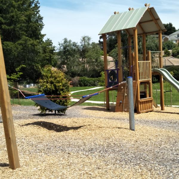
Cat Jump Park, Doncaster East basketball, hit up wall playground

Doncaster East

Development in Doncaster East began on the southern part of the suburb in the 1950s and continued into the 1980s. Doncaster East is now an established residential area with a stable population.

Economic profile - Doncaster East
372.82 KB
Download
download
Valepark Reserve, Donvale

Donvale and Nunawading

Development in Donvale and Nunawading began in the 1950s. Low density development continued into the 1980s. Both Donvale and Nunawading are now well established residential areas with growing populations.

Economic profile - Donvale
373.83 KB
Download
download
Fun at the Park Orchards Community House

Park Orchards and Ringwood North

Development of the Park Orchards area began in 1925 when a portion of one of Tom Petty's orchards known as 'the park' became a country club estate after subdivision. Saxil Tuxen, a protégé of Walter Burley Griffin, designed the subdivision drawing inspiration from Griffin's Ranelagh Estate in Mount Eliza.

Economic profile - Park Orchards
364.26 KB
Download
download
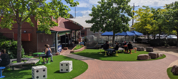
Pop up Dining set up for Templestowe Village

Templestowe

In the 1850s, Templestowe was as a village on the Yarra on the route to the Warrandyte gold fields. It’s one of the oldest areas of settlement in Manningham. The village remained a relatively small settlement well into the 20th century, with the area outside the town remaining as orchards.

The name Templestowe comes from a mythical place in Sir Walter Scott's novel Ivanhoe.

Economic profile - Templestowe
367.84 KB
Download
download
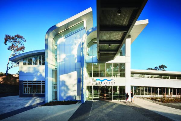
Front of Aquarena building

Templestowe Lower

The development of Lower Templestowe preceded that of greater Templestowe. The area is predominantly a post-war suburb with substantial development occurring in the 1950s and 1960s.

Economic profile - Templestowe Lower
373.84 KB
Download
download
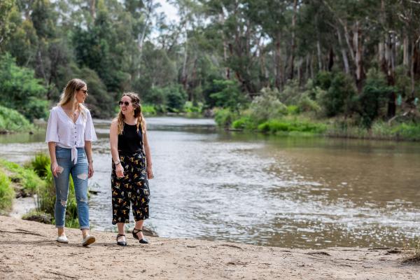
Two young women walk beside a wide river surrounded by gum trees and shrubs. They are looking at each other and smiling.

Warrandyte and Warrandyte South

Warrandyte is one of the original villages of Manningham. It’s believed that the name Warrandyte is a combination of the Wurundjeri Aboriginal words warran (to throw) and dyte (the object aimed at).

Development began in Warrandyte after the first discovery of gold in Victoria in 1851. Commercial gold mining was undertaken by a number of companies throughout the latter half of the 19th century without the success of the Ballarat and Bendigo diggings.

Located on the beautiful Yarra River, Warrandyte is a thriving residential area and tourist and arts destination. Warrandyte South remains a semi-rural area.

Economic profile - Warrandyte and Warrandyte South
365.18 KB
Download
download

Wonga Park

Wonga Park's name comes from the Wonga Park grazing property. The owner of the property, Simon Wonga was also an elder of the Wurundjeri people.

The area was a mixture of orchards, grazing properties and timbered land. It was part of Mooroolbark until the late 1880s when the property came into the hands of an insurance company and other holdings. The land was then sold by the Wonga Park Land Co.

Four years later when small settlements were a way of relieving unemployment after the failure of the land boom, about 20 members of an Eight Hours Pioneer Memorial Association took up small holdings on a former timber reserve.

Development of the township and surrounds was relatively slow until the 1980s after the release of a number of rural and residential subdivisions.

Economic profile - Wonga Park
361.55 KB
Download
download
Our history and demographics
Related news in our area, history and heritage